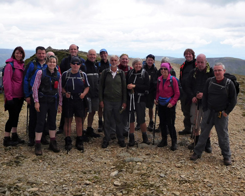
HELVELLYN - July 2017
SPRING/SUMMER 2026 PROGRAMME
Our Spring/Summer programme takes us in every direction from Bolton. This month we head to the Northern Lake District.
THE LAKE DISTRICT
A: Glenridding to Grasmere via Helvellyn 11 1/2 miles, 3285 ft ascent.
From the shores of Ullswater in the village of Glenridding, it's a long, steady and steep climb to the summit of Helvellyn, the third highest mountain in the Lake District and England. We initially follow a minor road up to the old copper mines where the Youth Hostel is situated, continuing on a good track before ascending more steeply via a winding path onto the wide summit flank. We head down via the two peaks of Nethermost and Dollywaggon Pikes to Grisedale Tarn, before turning to follow Tongue Gill and its waterfalls. Crossing the main road with care, we follow a minor lane and footpath into Grasmere village.
NB: This is a strenuous walk requiring good fitness. Weather conditions can be very different high up than lower down. Please be sure to have extra warm and waterproof clothing, as well as plenty of water and food.
WALK A Link to OS map
WALK B: Glenridding to Grasmere 8 miles, 1874 ft ascent.
From the shores of Ullswater in the village of Glenridding, it's a short but quite steep ascent to the picturesque Lanty's tarn. From here we drop down to follow a path above Grisedale Beck, initially fairly level but then climbing steeply for a mile up to Grisedale Tarn, a scenic spot surrounded by mountain peaks. The descent is via Tongue Gill and its tumbling waterfalls. Crossing the main road with care, we follow a minor lane and footpath into Grasmere village.
NB: This is quite a strenuous B walk, with rocky terrain underfoot. Whilst it's not over-exposed a significant height is reached. Please wear good boots, consider poles and be prepared for all weathers!
WALK B Link to OS map
WALK C: A gentle 6 mile walk on good paths with minimal ascent - starting in the village of Grasmere we cross the main road with care to the hamlet of Town End and Dove Cottage, former home of the Wordsworths. We then follow a minor lane/track which becomes the old Coffin Route. There is a short but steep climb before the path levels following a scenic route above the lakes. We then head down via Rydal Mount, where Wordworth and his family moved to from Dove Cottage, to again cross the road to the shores of Rydal Water. We follow the lakeside paths along Rydal and Grasmere before turning to head along the lane back into Grasmere village.
In the unlikely event of separation from the group or other emergency please take note of the following contact numbers:
Liz Moxham - 07876255849
Frank Jones - 07788736006